
English
English
Product Attributes
| Certification: Other | Height: Medium Altitude | Operating Radius: Medium Range | Size: Small | Usage: Agricultural | Structure: Other |
Product Parameters
| Payment Method | T/T,Paypal |
| Type of Shipping | Ocean,Air |
| Shipping Port | Shenzhen |
| Supply Capacity | 10 |
| Packaging Method | Box |
Product Details
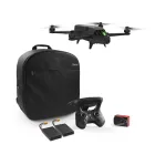
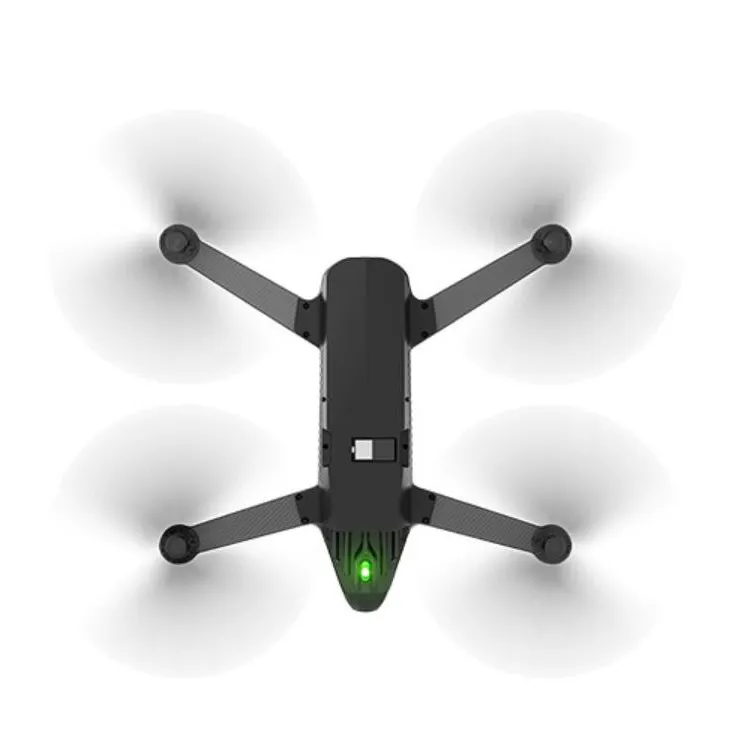
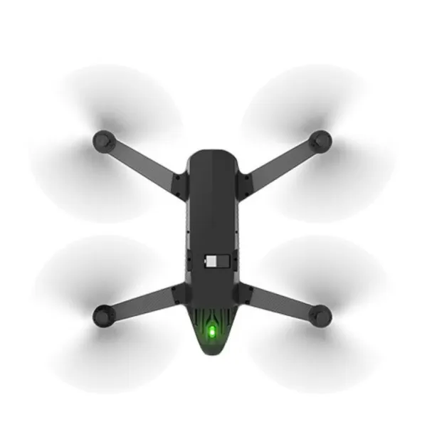
PARROT BLUEGRASS Drone
The End-to-End Drone Solution for Agriculture (Inspection and Analysis your crop)
Parrot Bluegrass Fields is a comprehensive, ready-to-fly drone solution that spans the entire crop analysis workflow. Parrot Bluegrass Fields provides agriculture professionals with the insights they need to maximize their yields and boost the quality of their crops.
• The rugged, easy-to-fly Parrot Bluegrass drone
• The industry-leading Parrot Sequoia multispectral sensor and a 14 MP front RGB camera
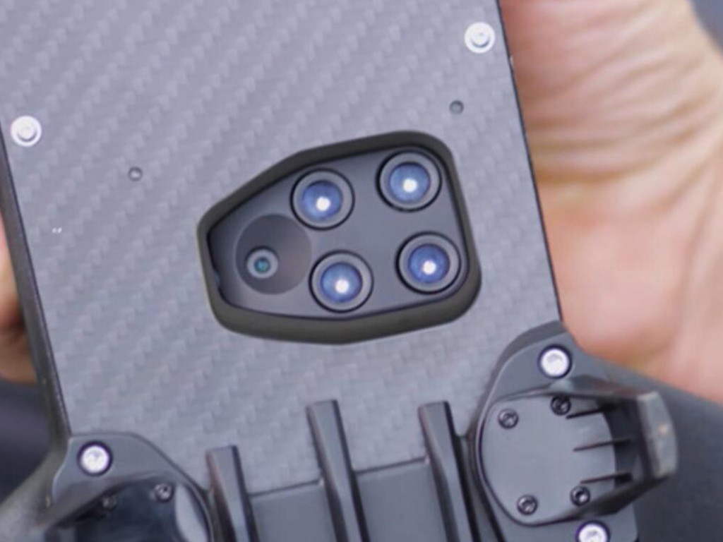
Equipped with two integrated multipurpose sensors, Parrot Bluegrass Fields is the perfect professional drone solution for visual scouting and crop mapping.
An industry-leading multispectral Parrot Sequoia sensor allows for highly accurate crop mapping:
Four multispectral mono-bands (Red, Green, RedEdge, Near Infrared), 1.2 MP, global shutter Multispectral GSD of 11.5 cm/px (4.5 in/px) at 122 m (400ft) flight height (or 2.8 cm/px (0.8 in/px) at 30 m / 100 ft)
Front 14 MP RGB Camera for fast and effective live scouting of problem areas, including the capture of photos and Full HD-quality video at 1080p.
Our other quality products
Hexagonal screws
Silicone Line
UAV Assembly Aid
Silicone Line
UAV Assembly Aid
NDVI Mapping Agricultural Drone
Price
SKU: Bluegrass Min Order: 1 Set/Sets
Contact Us
Product Recommendation
Contact Us