| Type of Shipping | |
| Packaging Method | air cargo aluminum box |
| Country of Origin | Beijing, China (Mainland) |
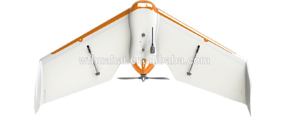
| Sparrow Specification
Drone for surveying and mapping purpose | |
|
|
Hardware |
|
|
|
Weight (Inc. supplied camera) | Approx. 0.94kg |
Wingspan | 90cm |
|
|
Payload capability | 150g |
|
|
Dimensions | 90 x 55 x 12cm |
Carry case dimensions | 108 x 59 x 24cm |
|
|
Camera |
|
|
|
Resolution | 16MP |
|
|
Lens | Ultra-low Distortion High Quality lens |
|
|
Camera calibration parameters | We can provide camera calibration report & parameters, our competitor can not do this. |
Aerial photographing mode | Adopts flying straight course and constant height, efficient on taking photos. our competitor flies in |
vertical curve and dive for photo shootings, lower efficiency on energy consumption. | |
| |
|
|
Camera anti-vibration system | Self-designed anti-vibration system, our competitor has none. |
Operation |
|
|
|
Maximum flight time | 85 minutes, 30-40 minutes more than our competitor! |
Maximum ceiling | 3500 meters |
|
|
Nominal cruise speed | 30-80 km/h |
|
|
Navigation system | GPS+INS |
|
|
Communication & control frequency | 433MHz |
|
|
Radio link range | Up to 3 km |
|
|
Maximum coverage (single flight) | 18 km² (at around 800 meter altitude AGL), 1.5 times as much as our competitor! |
Wind resistance | Up to 45 km/h (12m/s or 28 mph) |
|
|
Rain resistance | Slight rain |
|
|
Work temperature | -20-60℃ |
|
|
Take off type | Throw it into the air, motor starts automatically! Safer than our competitor! |
Take off angle | 12 degrees |
|
|
Landing type | Circle down, Against the wind, Belly landing |
|
|
Landing angle | Best adapted |
|
|
Linear landing accuracy | Approx. 5 m |
|
|
Multi-drone operation | Yes |
|
|
Automatic 3D flight planning | Yes |
|
|
Acquisition performance |
|
|
|
Ground Sampling Distance (GSD) | Down to 5 cm per pixel considering about flight safety. Can be lower if flying at wide open place. |
|
|
Relative orthomosaic accuracy | 1-3 x GSD |
|
|
Height above take-off location (AGL) | 75-750 meters |
|
|
Absolute horizontal/vertical accuracy (w/GCPs) | Down to 10 cm / 15 cm |
|
|
Absolute horizontal/vertical accuracy (no GCPs) | 1-5 meters |
|
|
Software |
|
|
|
Automated pre-flight checks | Yes |
|
|
Automatic take-off, flight, and landing | Yes |
|
|
Autonomous camera triggering | Yes |
|
|
Automated fail-safe routines | Yes |
|
|
Flight planning & control (supplied) | Radius Fly Ground control software system |
|
|
Image processing (Recommended) | Pix4Dmapper or Trimble Inpho |
|